
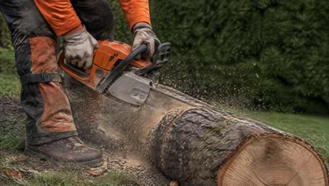
Tree removal permits in Moreton Bay
The City of Moreton Bay is big: more than 2,045 square kilometres, 94 suburbs, 294 kilometres of coastline and waterways, and a population nearing 500,000. Council's own library history still divides it into three districts, Caboolture, Pine Rivers and Redcliffe.
Those districts look different, from the D'Aguilar range down to the bay, but the clearing rules don't change at the old boundaries. Council's planning scheme and state legislation regulate clearing and lopping across all of it, on public and private land.
Arborists in Moreton Bay: good to know
Do the self-assessment
Council asks you to complete its vegetation clearing self-assessment checklist before cutting any vegetation. Treat it as a first read, not a permit.
Look at the maps
Find the property under Environmental Areas on council's overlay mapping, then open the Koala Plan layer on Queensland Globe.
Measure big natives
A native tree over 80 centimetres in diameter, measured 1.3 metres from the ground, is a habitat tree, and council says removing a dead one still counts as clearing.
Check the state layer
Request a state vegetation management report with the lot and plan number. It shows whether the property has regulated vegetation.
Approval before work
If the clearing is assessable, the approval has to be in place before anyone starts. An arborist may have a view on whether a job is assessable, but council decides.
Arborists in Moreton Bay: what's local
Pine Rivers hills and valleys
In the south west, Samford's valleys were once pine scrub with hoop pine and red cedar, and Albany Creek's settlers cleared rainforest on the South Pine River floodplain. See Samford, Albany Creek and Strathpine.
The Caboolture rivers
The Pine and Caboolture river systems are prone to flash flooding, and the Bureau doesn't run a flood warning service for either river. See Caboolture, Morayfield and Narangba.
The coast and the islands
Council says most of its coastline is sheltered by Bribie and Moreton islands but can still erode in severe weather. See Redcliffe and Bribie Island.
A planned estate
North Lakes runs under the Mango Hill Infrastructure Development Control Plan rather than a planning scheme zone, so its paperwork differs. See North Lakes.
Koalas in the suburbs
Council says koalas turn up in parks, reserves, school grounds and road verge trees. It manages more than 10,000 hectares of natural areas, including three koala nature refuges at Whiteside, Petrie and Samford Valley.

Hiring an arborist in Moreton Bay
Whatever the suburb, we'd do the checklist and the koala layer before calling an arborist, and save screenshots of both. It turns a vague question into a clear one, for council and for whoever quotes. If a tree is native and big, we'd treat it as protected until council says otherwise.